Easily Locate Kentucky on a Map: Step-by-Step Guide
Navigating a map can often be a daunting task, especially if you are not familiar with the geography of an area. Kentucky, situated in the southeastern part of the United States, is known for its rich history and diverse landscapes. This article provides a comprehensive step-by-step guide to help you quickly and easily locate Kentucky on a map.
Step 1: Understand the Geography of the United States
Before diving into Kentucky’s specific location, it’s essential to have a general understanding of the layout of the United States. The country is divided into regions:
- Northeast
- Midwest
- South
- West
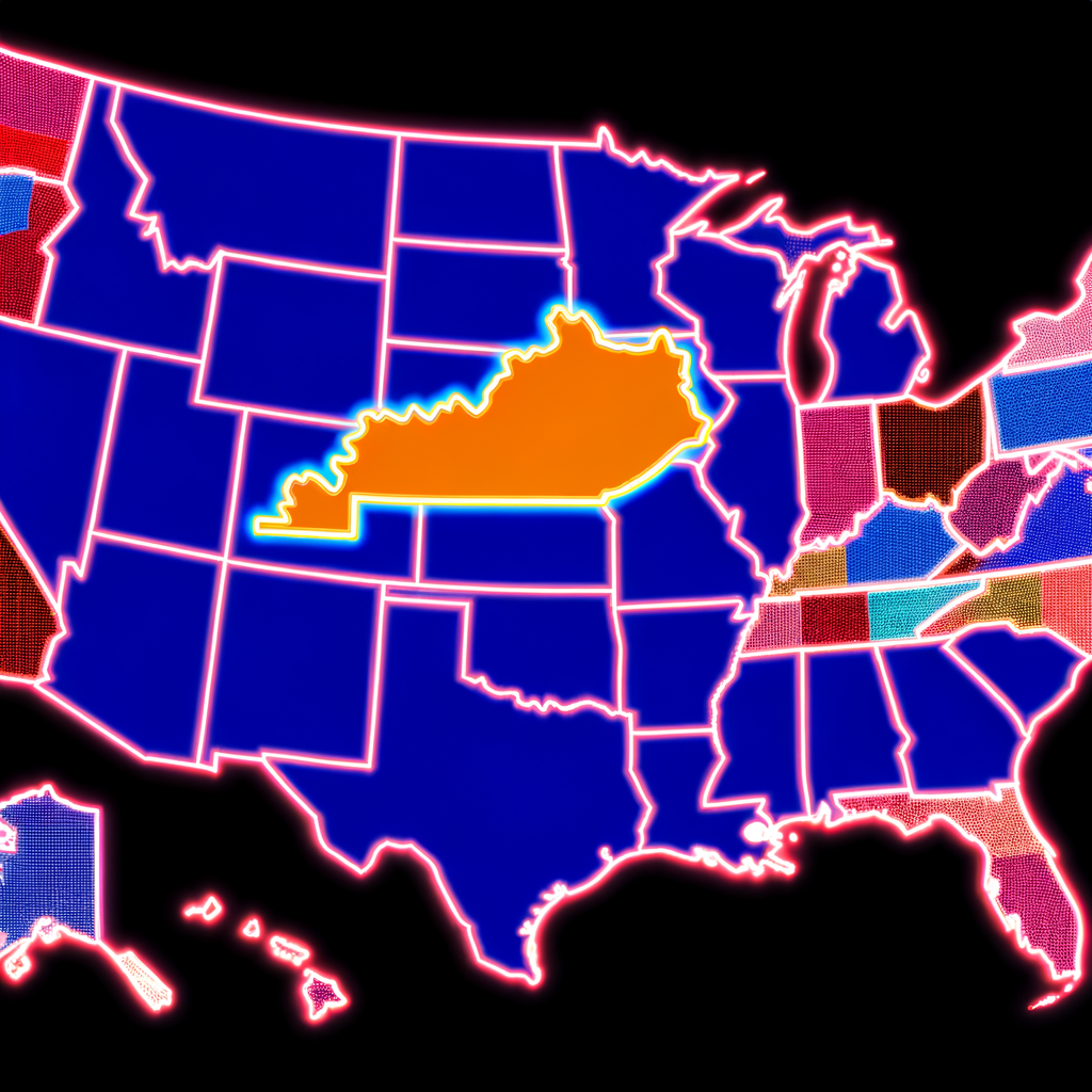
Kentucky is located in the Southern United States, which will be your initial point of focus.
Step 2: Identify Surrounding States
Kentucky is bordered by seven states. Recognizing these neighboring states on a map can help you pinpoint Kentucky more accurately. These states include:
- Illinois to the northwest
- Indiana to the north
- Ohio to the northeast
- West Virginia to the east
- Virginia to the southeast
- Tennessee to the south
- Missouri to the west
These connections can act as guides to help you recognize Kentucky’s specific location.
Step 3: Recognize Major Landmarks and Bodies of Water
To further assist in finding Kentucky, it’s helpful to identify major landmarks and bodies of water. The Ohio River forms the northern border of Kentucky, making it an excellent geographical feature to look out for on the map. Additionally, the Mississippi River borders the far western edge of Kentucky.
The Ohio River:
The Ohio River is significant because it separates Kentucky from Indiana and Ohio. If you can identify the Ohio River, you are very close to pinpointing Kentucky.
The Mississippi River:
The Mississippi River demarcates the far western boundary where Kentucky meets Missouri. Identifying this river will help you understand the western limits of Kentucky.
Step 4: Locate the Largest Cities in Kentucky
Identifying some of Kentucky’s largest cities can help confirm that you’ve found the right state. The three largest cities are:
- Louisville
- Lexington
- Bowling Green
These cities are typically marked on most maps, and their presence will assure you that you have located Kentucky.
Step 5: Use the Interstate and Highway System
The interstate and highway systems can also help you recognize Kentucky on a map. Major interstates that pass through Kentucky include:
- Interstate 64 (I-64): Runs east to west, passing through Louisville and Lexington.
- Interstate 65 (I-65): Runs north to south, connecting Louisville to the southern part of the state and beyond.
- Interstate 75 (I-75): Runs north to south, passing through Lexington and running towards the southeast part of the state.
By looking for these major routes, you can more easily locate Kentucky.
Step 6: Verify with Geographic Coordinates
If you have difficulty using visual landmarks to locate Kentucky, you can rely on geographic coordinates. Kentucky is approximately centered at latitude 37.8393° N and longitude 84.2700° W. Using these coordinates on a GPS device or map with a grid system can help you pinpoint Kentucky’s exact location.
Step 7: Cross-Check with Map Features
To ensure that you have accurately identified Kentucky, cross-reference it with other map features such as national parks, major rivers, and mountain ranges. Kentucky is home to the Appalachian Mountains in the eastern part of the state. Another notable feature is the Daniel Boone National Forest.
Additional Tips
Here are a few extra tips to make your map navigation even smoother:
- Practice: Familiarize yourself by looking at maps regularly.
- Use Online Map Tools: Utilize interactive maps like Google Maps for more detailed views.
- Study U.S. Regions: Understanding the general layout of U.S. regions can make identifying states easier.
Conclusion
With these step-by-step instructions, you should be well-equipped to easily locate Kentucky on any map. Understanding the surrounding states, key geographical features, and significant cities will help you confirm that you have correctly found Kentucky. Whether you’re a student, traveler, or someone interested in geography, these tips will make you more confident and precise in your map-reading skills.